Advancements in Satellite Technology for Environmental Monitoring
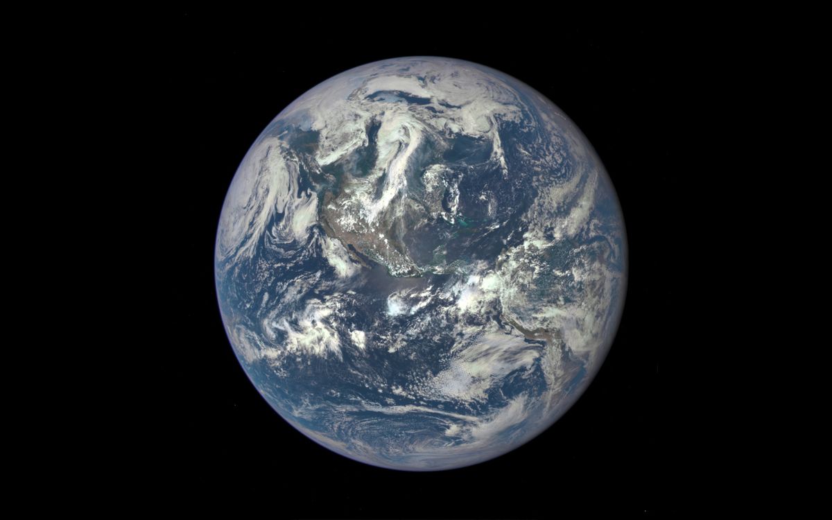
Thanks to the next-generation satellite systems like the National Oceanic and Atmospheric Administration’s (NOAA) GOES-R series, scientists now have access to high-definition images of Earth at a faster rate than ever before. These data play a crucial role in providing a comprehensive understanding of our planet, with satellites working in collaboration to make measurements and observations that would otherwise be challenging to obtain from the ground. As our climate undergoes rapid changes due to human activities such as burning coal, and as scientists uncover new insights into the workings of Earth, it becomes imperative to update technology for a more comprehensive understanding of the planet.
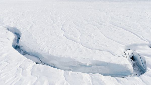
Recently, NOAA announced that a global coral bleaching event is occurring across the Atlantic, Pacific, and Indian Ocean basins for the second time in the past decade. Utilizing sea-surface temperature data from a combination of NOAA and partner satellites, scientists confirmed the ongoing event driven by ocean warming and extreme marine heat stress. While NOAA continues to assess the severity and extent of this global event, there remains much to learn about the anatomy and ecology of our oceans.
Impact of Local Stressors on Marine Ecosystems
Ryan Vandermeulen, NOAA’s National Marine Fisheries Service Satellite Coordinator, highlighted the detrimental effects of pollution on coral reef systems. He emphasized how local stressors, in addition to the global stressors of climate change and ocean warming, can impede coral growth, disrupt ecological functions, and lead to disease and mortality in sensitive species. Pollution sources, ranging from wildfire runoff to harmful algal blooms, pose significant challenges to marine ecosystems.
Remote-sensing technologies, such as satellite observation of ocean color, offer a synoptic view of microscopic materials in aquatic environments. This provides valuable insights into ecosystem variability, health, and vulnerability, shedding light on how local stressors impact communities.
Future Developments in Satellite Technology
Following the launch of GOES-U in June, which signifies the completion of the GOES-R constellation, NOAA is already working on new instruments for the Geostationary Extended Observations (GeoXO) satellite system, the successor to GOES-R. The addition of the Ocean Color (OCX) instrument will enable monitoring of coastal areas, major lakes, and detecting phenomena like pollution and oil spills. Furthermore, the introduction of an air quality instrument will provide real-time data on pollutants across the U.S.
GeoXO’s planned atmospheric sounder will offer detailed insights into temperature, humidity, and air quality, predicting trends before they emerge. These advancements will enhance weather forecasting, satellite imagery, and data collection in both the ocean and the atmosphere, allowing scientists to delve deeper into their research and gather more comprehensive data.
Pam Sullivan, the NOAA’s GOES-R and GeoXO program director, stressed the importance of staying ahead in environmental observations to understand and protect our environment effectively. By aligning with international efforts and leveraging cutting-edge technology, the U.S. aims to maintain its leadership in environmental monitoring and understanding.
Image/Photo credit: source url