Exploring the Geological Landscape of Mars
We now have a comprehensive geological map of the landing zone for the European Space Agency’s (ESA) Rosalind Franklin ExoMars rover, shedding light on the terrain it will traverse during its upcoming mission to search for signs of life on Mars. This map serves as a crucial tool to guide scientists in identifying potential areas of interest for further exploration.
A Closer Look at the Map
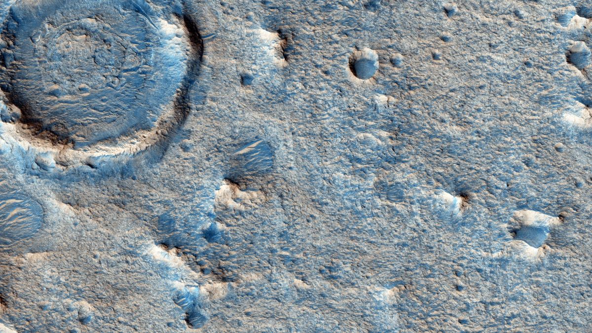
The map, created with meticulous detail, offers valuable insights into the diverse rocky formations present in the rover’s landing site on Mars. By pinpointing various geological units and features, such as boulder fields, aeolian ridges, fractures, craters, and sediment layers dating back billions of years, the map provides a roadmap for navigating the challenging Martian terrain.
One notable highlight of the map is the abundance of clay-bearing minerals in the Oxia Planum region, suggesting past interactions with liquid water. These minerals, including smectite, vermiculite, and kaolin, are known for their potential to preserve ancient biosignatures, hinting at the possibility of uncovering evidence of past life on Mars.
Unraveling Mars’ Mysteries
While the harsh environmental conditions on present-day Mars make the existence of living organisms unlikely, geological evidence indicates that the planet harbored habitable conditions billions of years ago. The presence of river channels, floodplains, mineral deposits, and organic molecules suggests a warmer and wetter Mars in the distant past.
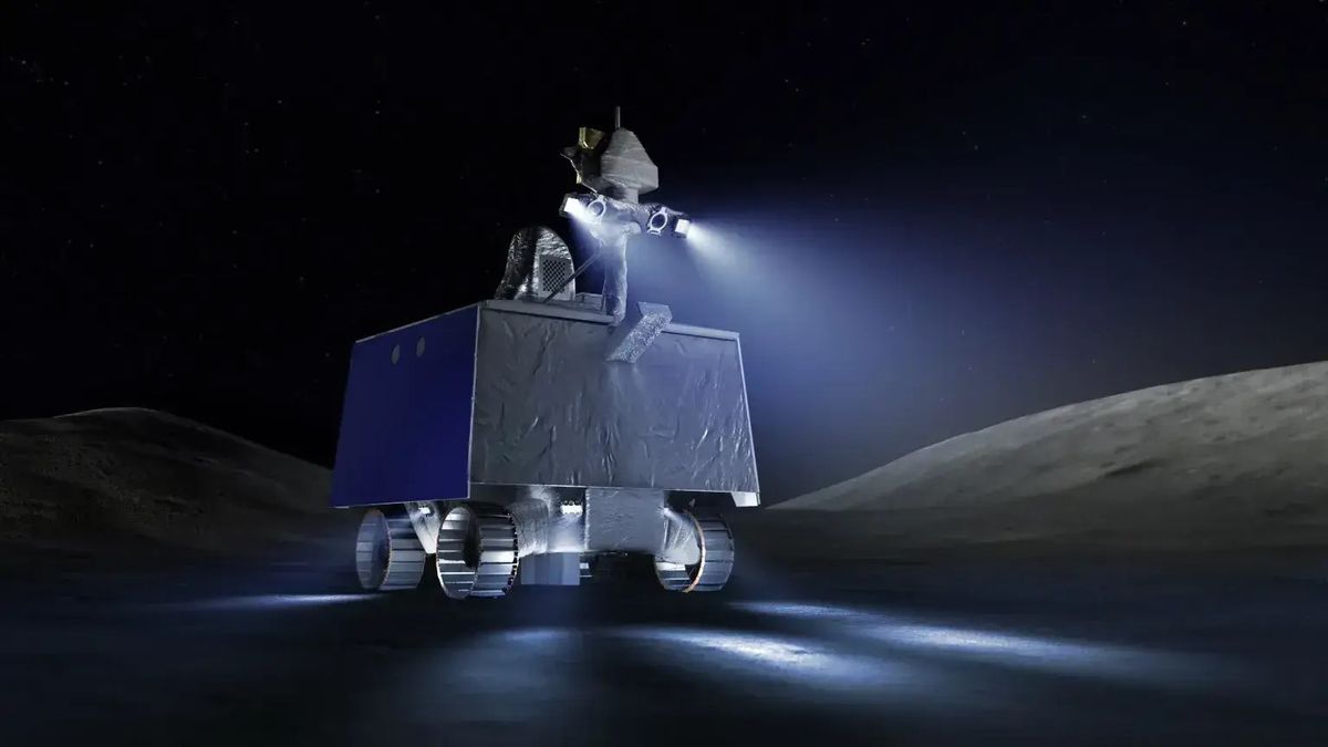
The Rosalind Franklin rover is equipped with advanced instruments, such as the Mars Organic Molecule Analyzer (MOMA), designed to detect traces of organic compounds that could be remnants of ancient Martian life. By drilling into clay sediments and analyzing samples on-site, the rover aims to unlock the secrets of Mars’ geological history.
The Journey Ahead
As scientists prepare for the rover’s mission to Mars, careful planning is essential to maximize the chances of success. The detailed geological map will serve as a crucial tool in charting the rover’s path, enabling scientists to select optimal locations for sample collection and analysis.
By decoding the geological history of Mars’ Oxia Planum region, the Rosalind Franklin rover will delve into the planet’s past, offering insights into its potential for hosting life. This ambitious mission represents a significant step forward in our quest to unravel the mysteries of the Martian landscape.
Image/Photo credit: source url